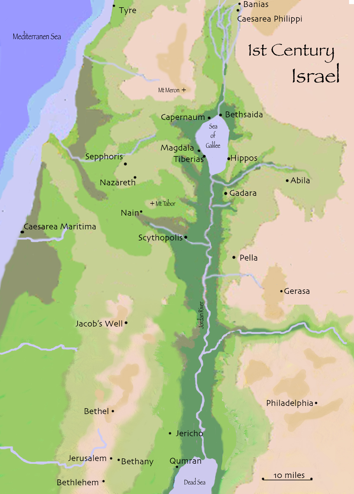
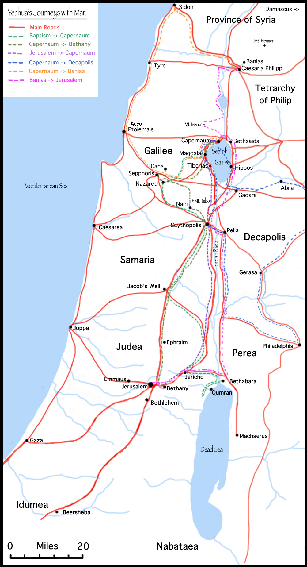
No matter what I write, I always seem to make maps. I suppose it helps me orient myself in each new world. So now, here are some of the maps of 1st C Israel that I created in the process of writing Yeshua’s Cat. I hope they help orient you as well! (Click on images to enlarge)
This a very general topographic map with the major cities noted.
This a map of Israel, with the major roads and the longer trips taken by Yeshua and Mari in their wanderings. It doesn’t include shorter excursions or Yeshua’s ministry around the Galilee.
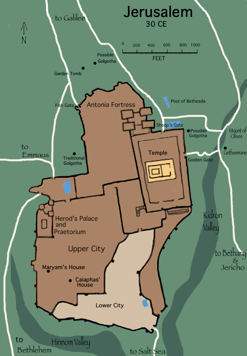
Below is a very basic map of Jerusalem, and the roads leading in and out of it, during the years when Yeshua would have visited it. Since no one knows for sure where Golgotha was located, the 3 main possible locations are shown.
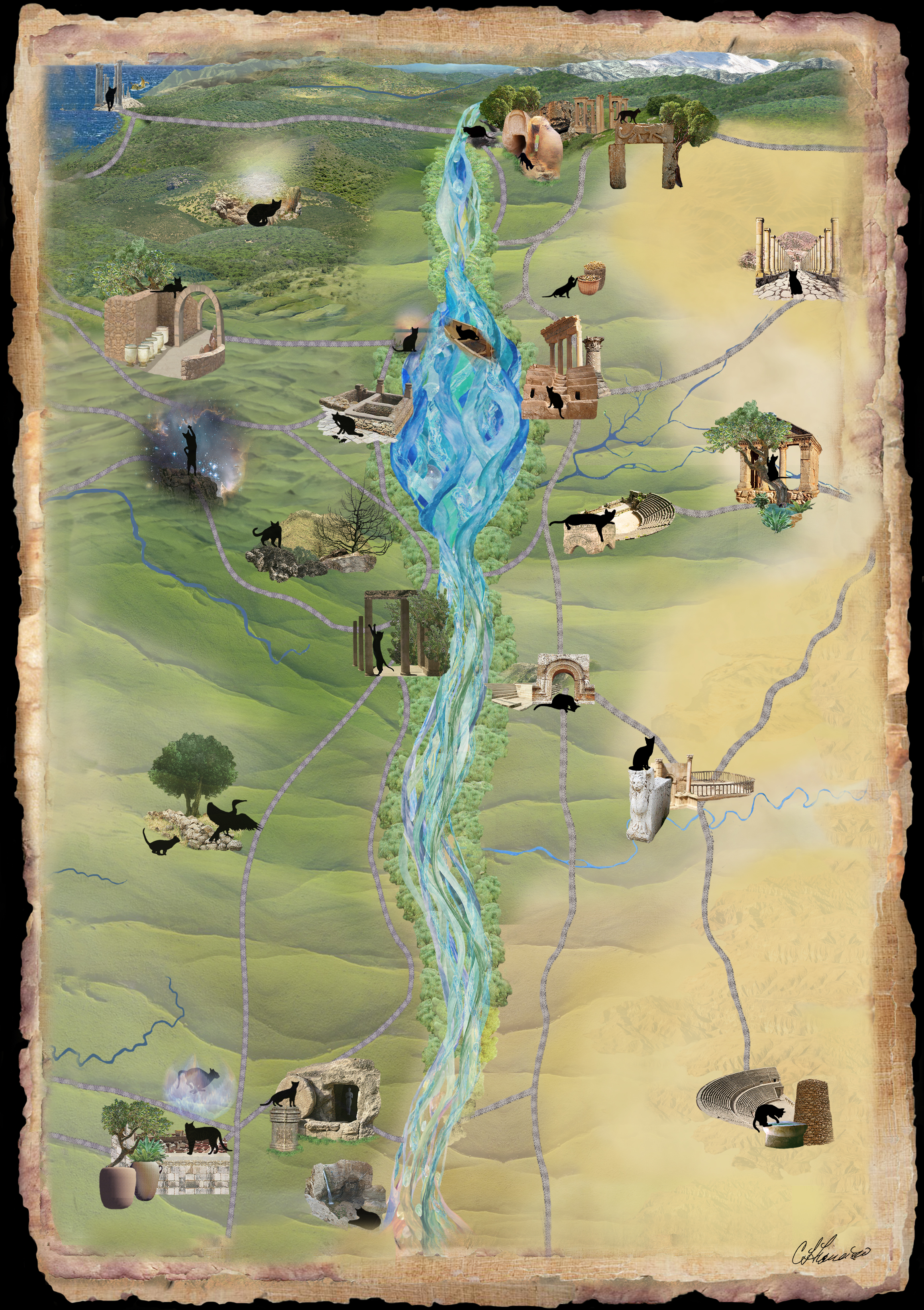
Here is Mari’s map, taken from the back cover of the book. If you would like a free high resolution jpg image of this map, just drop me a line, and I’ll email it to you.
.
.
.
